Uploads by Bc
Jump to navigation
Jump to search
This special page shows all uploaded files.
| Date | Name | Thumbnail | Size | Description | Versions |
|---|---|---|---|---|---|
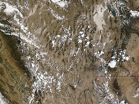
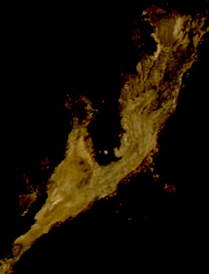
| 18:10, 29 August 2007 | MODIS-Aqua-2007-0828-2050-playa-contrast.png (file) |  |
75 KB | http://rapidfire.sci.gsfc.nasa.gov/realtime/single.php?2007240/crefl2_143.A2007240205000-2007240205500.250m.jpg | 1 |
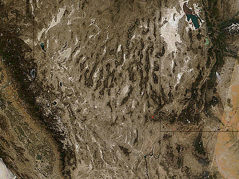
| 18:07, 29 August 2007 | MODIS-Terra-2007-0828-2050-playa-contrast.png (file) |  |
75 KB | http://rapidfire.sci.gsfc.nasa.gov/realtime/single.php?2007240/crefl2_143.A2007240205000-2007240205500.250m.jpg | 1 |
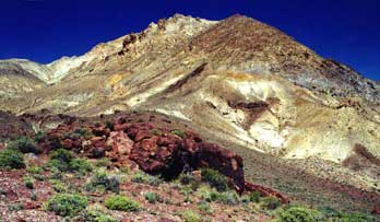
| 02:36, 13 July 2007 | Calico mountains.jpg (file) |  |
17 KB | 1 | |
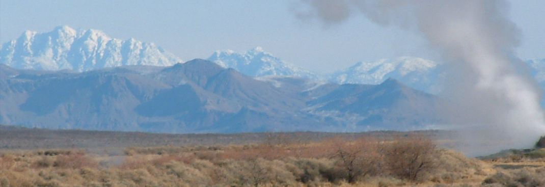
| 02:25, 13 July 2007 | Nv panorama atlas-Black Rock Desert-page15-1000-thumb.jpg (file) |  |
11 KB | 1 | |
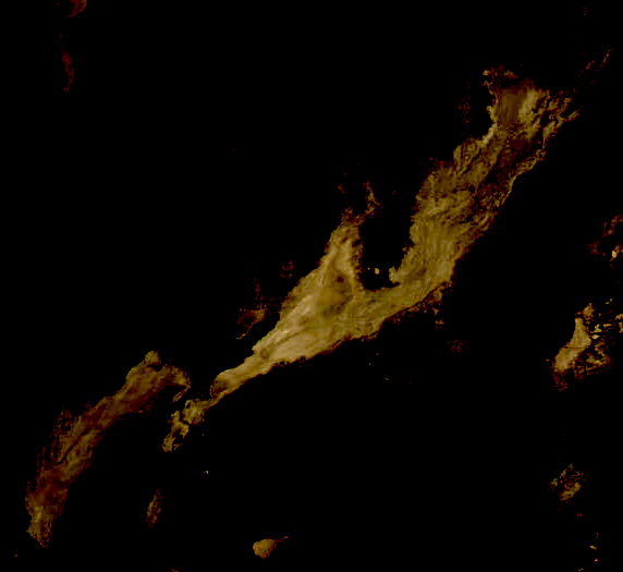
| 01:21, 13 July 2007 | 2007-07-12 MODIS Terra (playa contrast).jpg (file) | .jpg) |
33 KB | 1 | |
| 00:14, 12 July 2007 | ISS015-E-15145 (Pyramid Lake 2007-06-29).JPG (file) | .JPG) |
68 KB | Pyramid Lake 2007-06-29 | 1 |
| 01:42, 9 July 2007 | 2007-07-06-7-8-fires.gif (file) |  |
1.03 MB | 1 | |
| 01:26, 9 July 2007 | 2007-07-06,7,8 fires.gif (file) |  |
1.03 MB | 1 | |
| 01:20, 9 July 2007 | 2007-07-04-thru-08 fires.gif (file) |  |
1.93 MB | 1 | |
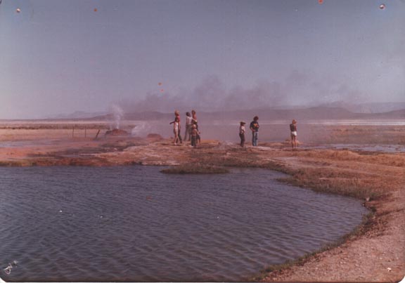
| 22:01, 8 July 2007 | Fly Geyser 1975 kelli fly a.jpg (file) |  |
31 KB | 1 | |
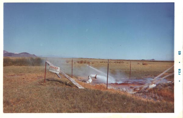
| 21:58, 8 July 2007 | Fly Geyser Feb 1965 bev fly big2.jpg (file) |  |
33 KB | 1 | |
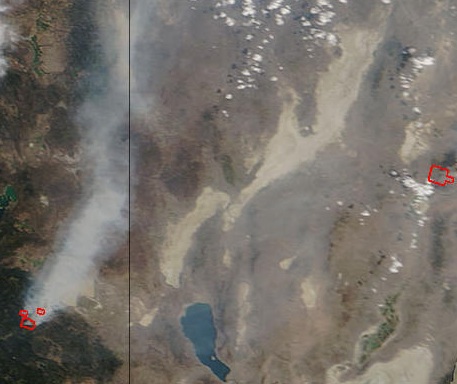
| 16:38, 8 July 2007 | 2007-07-07 MODIS Terra (fires) .jpg (file) | _.jpg) |
53 KB | 1 | |
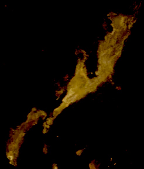
| 16:19, 6 July 2007 | Aqua 2007-07-04 playa (contrast).jpg (file) | .jpg) |
25 KB | 1 | |
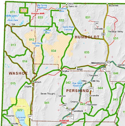
| 05:18, 4 July 2007 | NDOW Hunt Unit Map.jpg (file) |  |
67 KB | http://www.ndow.org/hunt/maps/unitmap.shtm | 1 |
| 07:36, 21 June 2007 | (a creek in the) Buffalo Hills WSA (BLM CA Eagle Lake).jpg (file) | _Buffalo_Hills_WSA_(BLM_CA_Eagle_Lake).jpg) |
41 KB | 1 | |
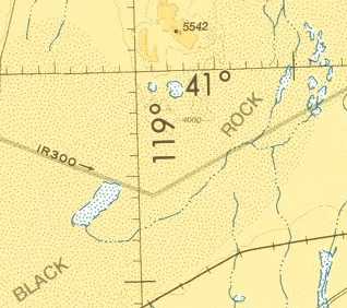
| 05:30, 21 June 2007 | Black Rock (sectional clip).jpg (file) | .jpg) |
13 KB | 2 | |
| 00:07, 11 June 2007 | King Lear Peak from Fly Geyser.jpg (file) |  |
38 KB | Concerned Rancher (c) 2007 | 1 |
| 23:38, 10 June 2007 | Snoopy Rock.jpg (file) |  |
72 KB | 1 | |
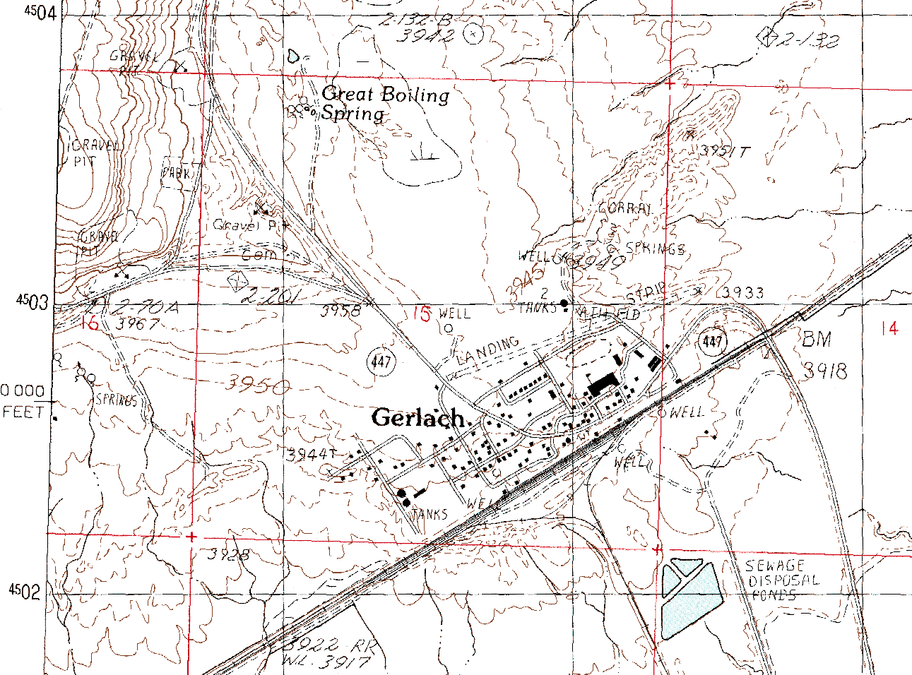
| 21:06, 10 June 2007 | USGS 24000 Gerlach 1990 closeup.png (file) |  |
100 KB | 1 | |
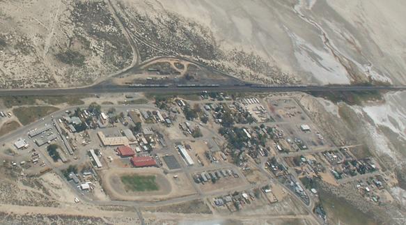
| 03:17, 10 June 2007 | Gerlach tazameir aerial.jpg (file) |  |
41 KB | 1 | |
| 08:39, 7 June 2007 | Western Pacific - Feather River Route.jpg (file) |  |
28 KB | 1 | |
| 07:58, 7 June 2007 | USGS Historical Photographs - (surveying the) Desert Area near Jungo Nevada 1931.jpg (file) | _Desert_Area_near_Jungo_Nevada_1931.jpg) |
65 KB | http://online.wr.usgs.gov/outreach/historicPhotos/enlarged/jungo_nevada.html Outreach in the Western Region Historical Photographs: Desert Area near Jungo, Nevada 1931 Mapping the north half of the Lovelock 1° quadrangle in the desert area near Jun | 1 |
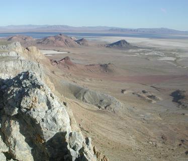
| 20:34, 30 May 2007 | BG BlackRock from cliffs.jpg (file) |  |
21 KB | 1 | |
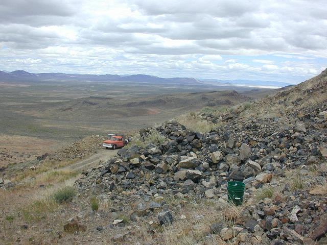
| 01:14, 27 May 2007 | Royal Rainbow Opal Mine view.jpg (file) |  |
70 KB | 1 | |
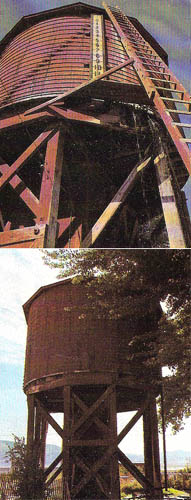
| 00:47, 17 May 2007 | Gerlach watertower postcard.jpg (file) |  |
55 KB | low quality scan of the popular postcard | 1 |
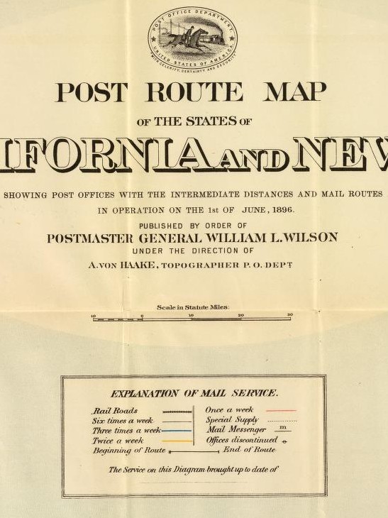
| 17:25, 8 May 2007 | 1896 Post Route Map legend.jpg (file) |  |
98 KB | 1 | |
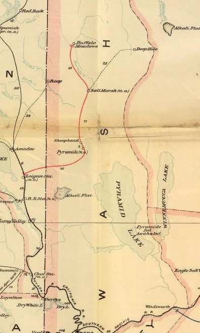
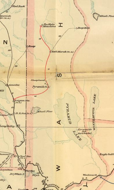
| 17:23, 8 May 2007 | 1896 Post Route Map, Washoe.jpg (file) |  |
71 KB | 2 | |
| 17:20, 8 May 2007 | 1896 Post Route Map, Washoe.png (file) |  |
351 KB | 1 | |
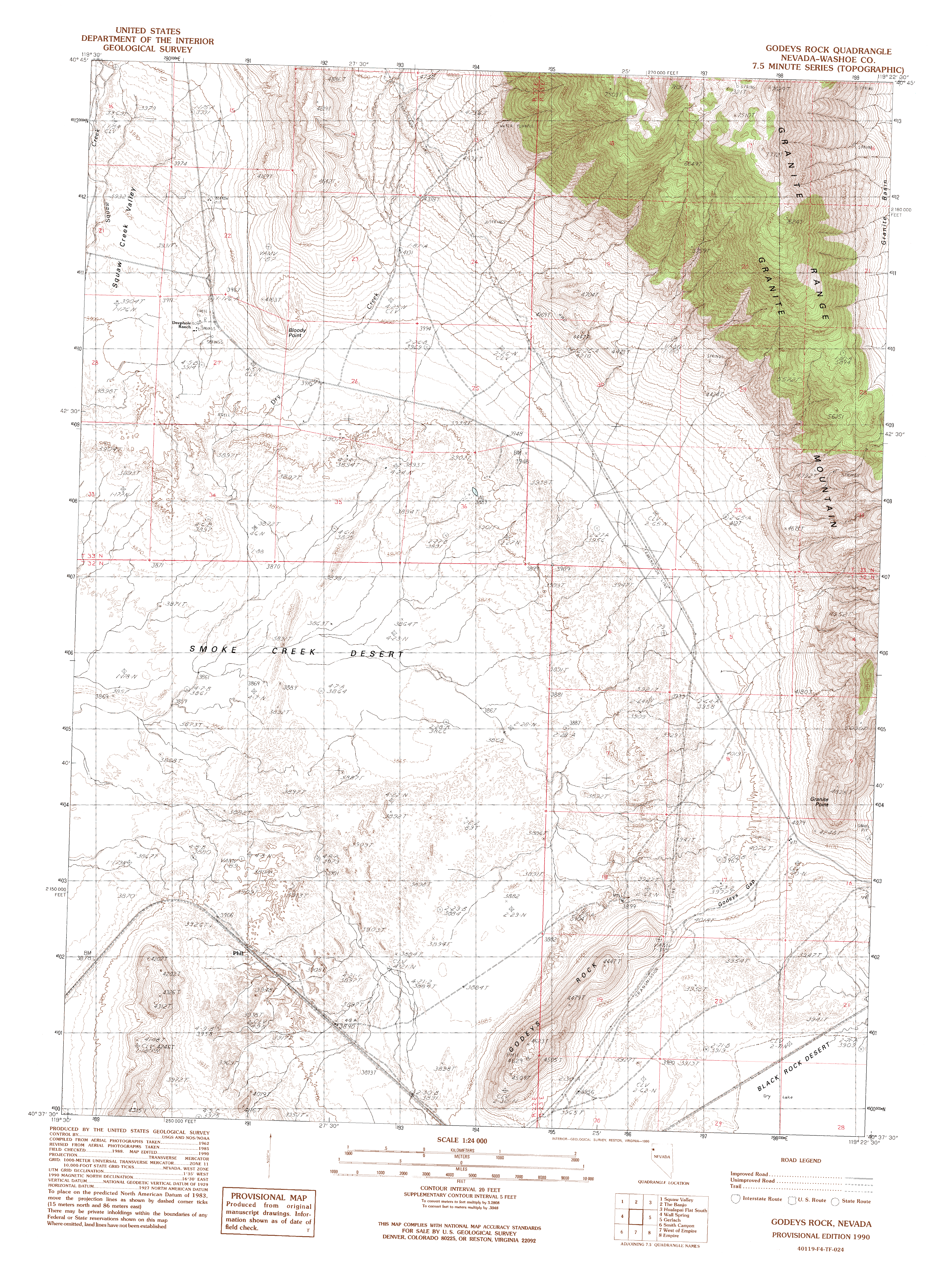
| 16:54, 8 May 2007 | USGS-DRG-24000-1990-Godeys Rock.gif (file) | Error creating thumbnail: File with dimensions greater than 12.5 MP |
2.1 MB | 1 | |
| 16:54, 8 May 2007 | USGS-DRG-24000-1990-Godeys Rock (thumb).jpg (file) | .jpg) |
8 KB | 1 | |
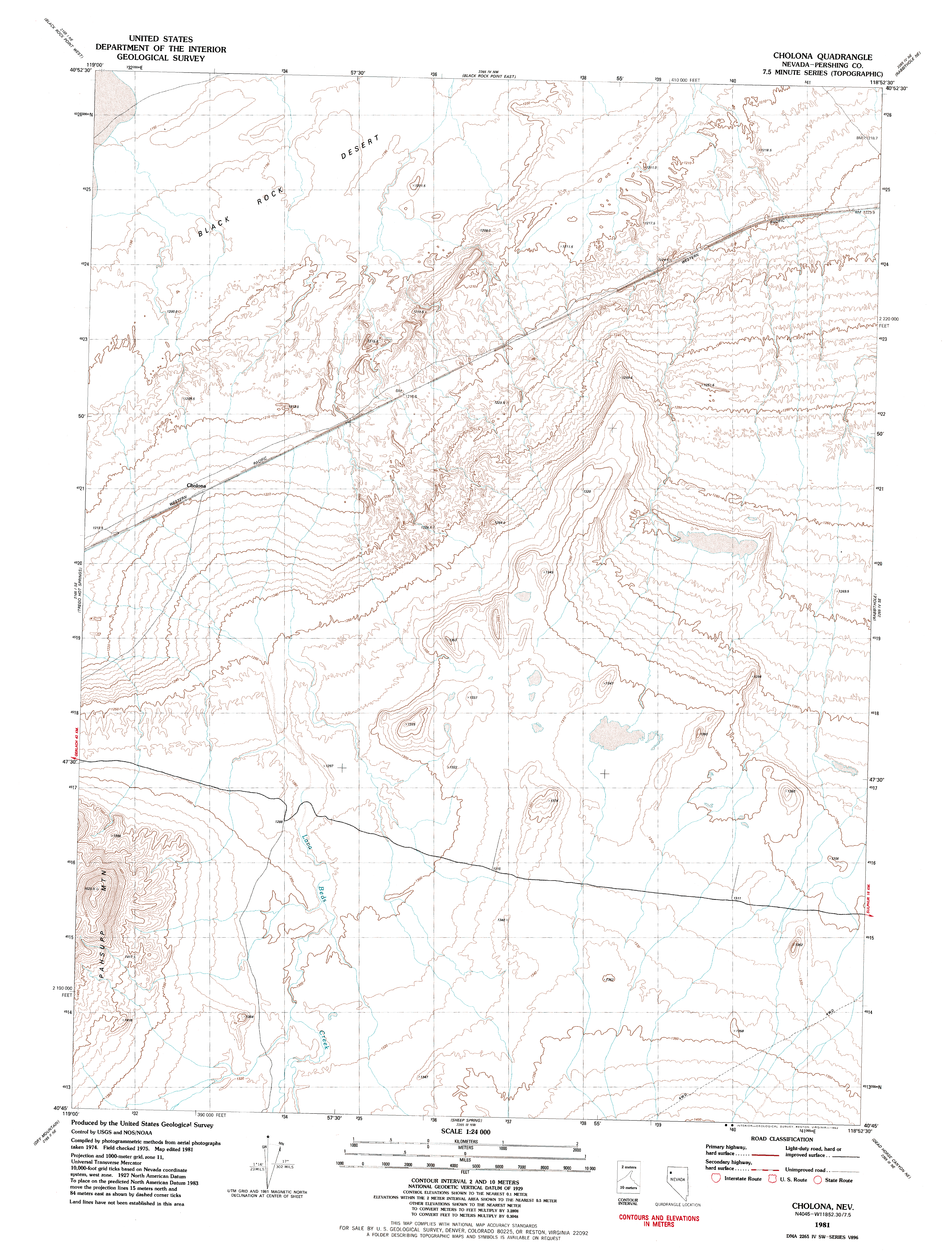
| 00:45, 8 May 2007 | USGS-DRG-24000-1981-Cholona.gif (file) | Error creating thumbnail: File with dimensions greater than 12.5 MP |
1.44 MB | 1 | |
| 00:45, 8 May 2007 | USGS-DRG-24000-1981-Cholona (thumb).jpg (file) | .jpg) |
9 KB | 1 | |
| 00:33, 8 May 2007 | USGS-DRG-24000-1980-Pidgeon Spring SW.gif (file) | Error creating thumbnail: File with dimensions greater than 12.5 MP |
2.32 MB | 1 | |
| 00:31, 8 May 2007 | USGS-DRG-24000-1980-Pidgeon Spring SW (thumb).jpg (file) | .jpg) |
9 KB | 1 | |
| 00:25, 8 May 2007 | USGS-DRG-24000-1980-Trego Hot Springs.gif (file) | Error creating thumbnail: File with dimensions greater than 12.5 MP |
2.08 MB | 1 | |
| 00:24, 8 May 2007 | USGS-DRG-24000-1980-Trego Hot Springs (thumb).jpg (file) | .jpg) |
9 KB | 1 | |
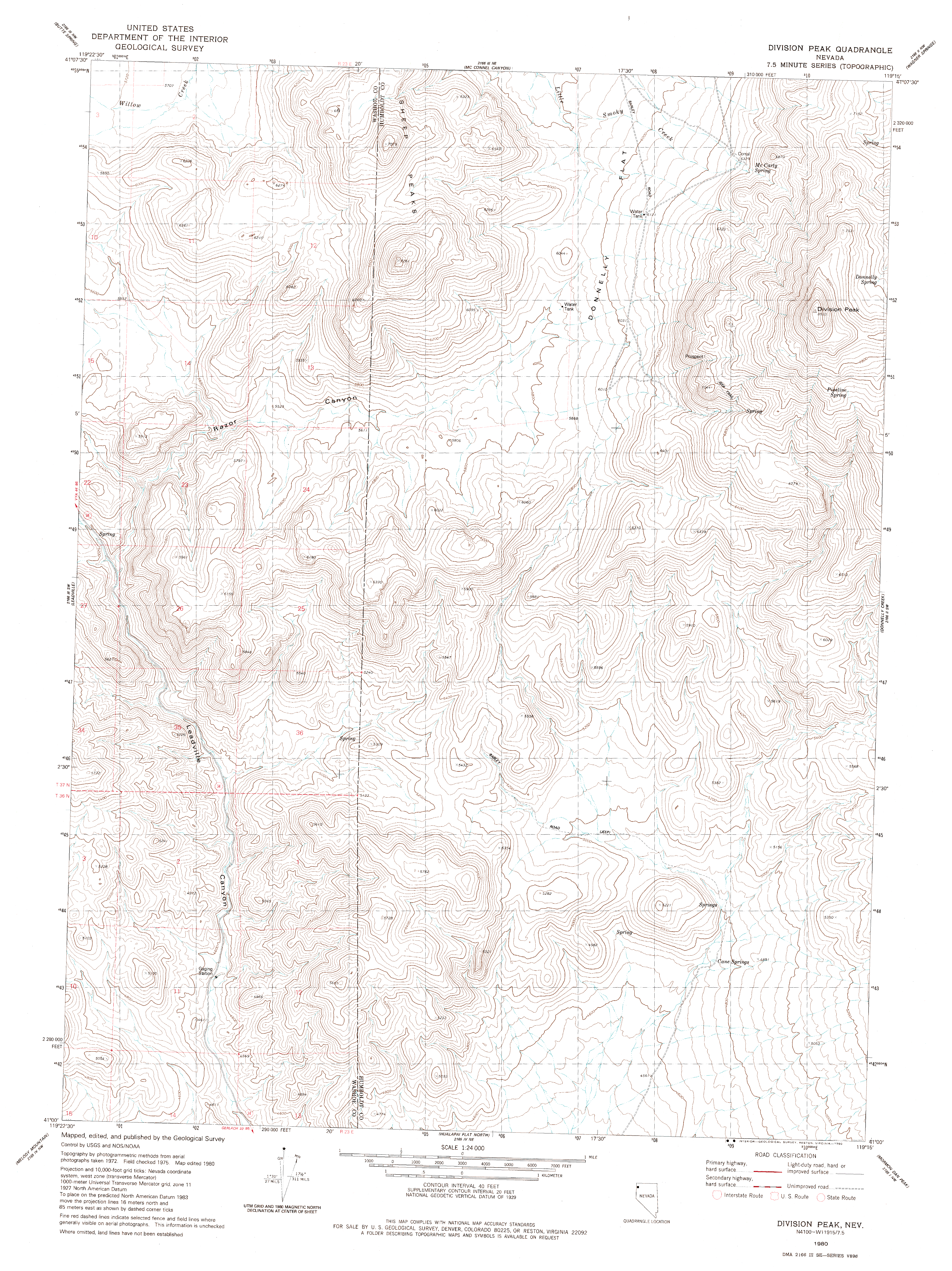
| 00:20, 8 May 2007 | USGS-DRG-24000-1980-Division Peak.gif (file) | Error creating thumbnail: File with dimensions greater than 12.5 MP |
1.62 MB | 1 | |
| 00:20, 8 May 2007 | USGS-DRG-24000-1980-Division Peak (thumb).jpg (file) | .jpg) |
10 KB | 1 | |
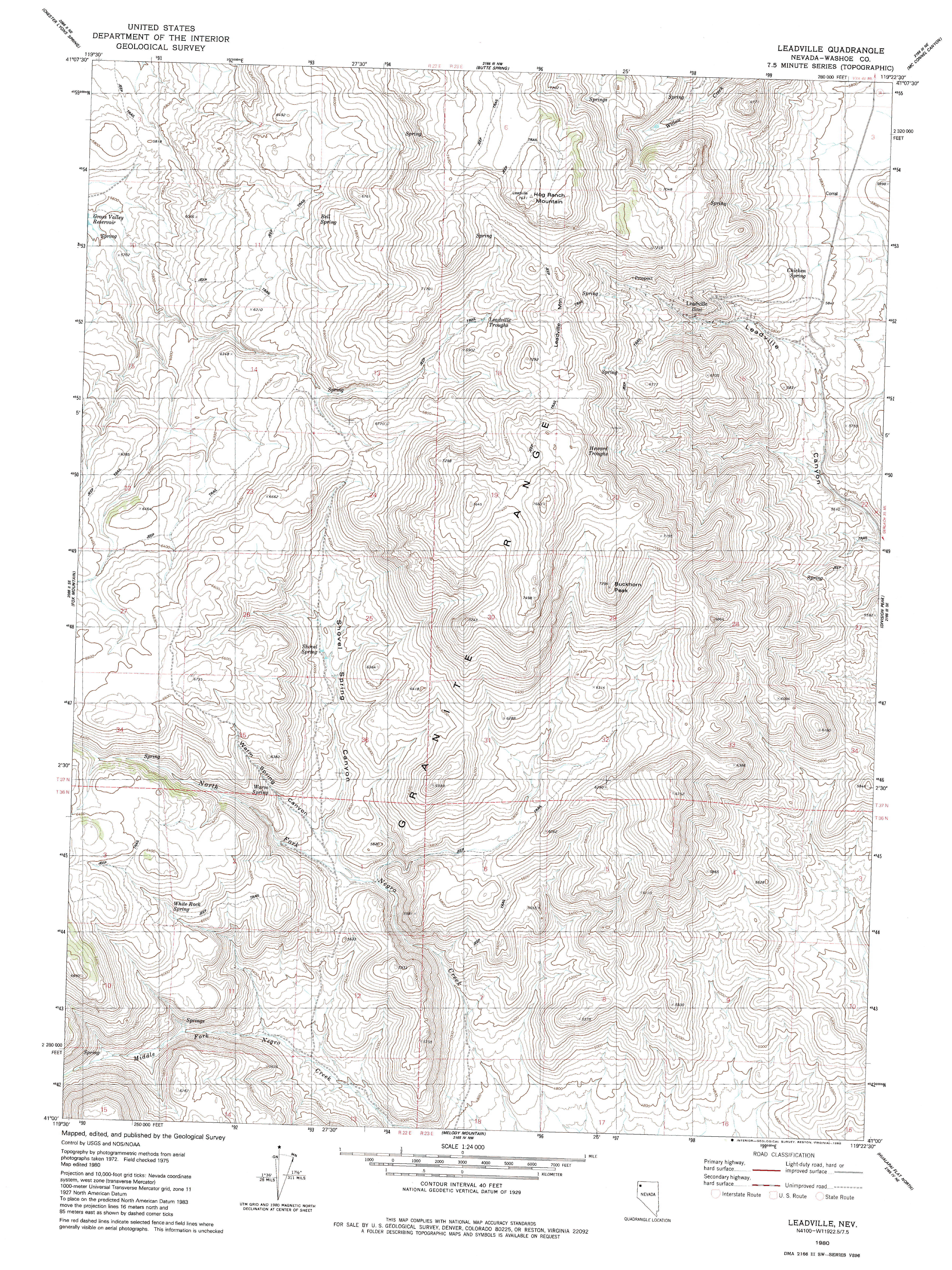
| 00:04, 8 May 2007 | USGS-DRG-24000-1980-Leadville.gif (file) | Error creating thumbnail: File with dimensions greater than 12.5 MP |
1.88 MB | 1 | |
| 00:03, 8 May 2007 | USGS-DRG-24000-1980-Leadville (thumb).jpg (file) | .jpg) |
10 KB | 1 | |
| 23:54, 7 May 2007 | USGS-DRG-24000-1980-Black Rock Point East.gif (file) | Error creating thumbnail: File with dimensions greater than 12.5 MP |
1.38 MB | 1 | |
| 23:53, 7 May 2007 | USGS-DRG-24000-1980-Black Rock Point East (thumb).jpg (file) | .jpg) |
9 KB | 1 | |
| 23:49, 7 May 2007 | USGS-DRG-24000-1980-Black Rock Point West.gif (file) | Error creating thumbnail: File with dimensions greater than 12.5 MP |
2.27 MB | 1 | |
| 23:48, 7 May 2007 | USGS-DRG-24000-1980-Black Rock Point West (thumb).jpg (file) | .jpg) |
8 KB | 1 | |
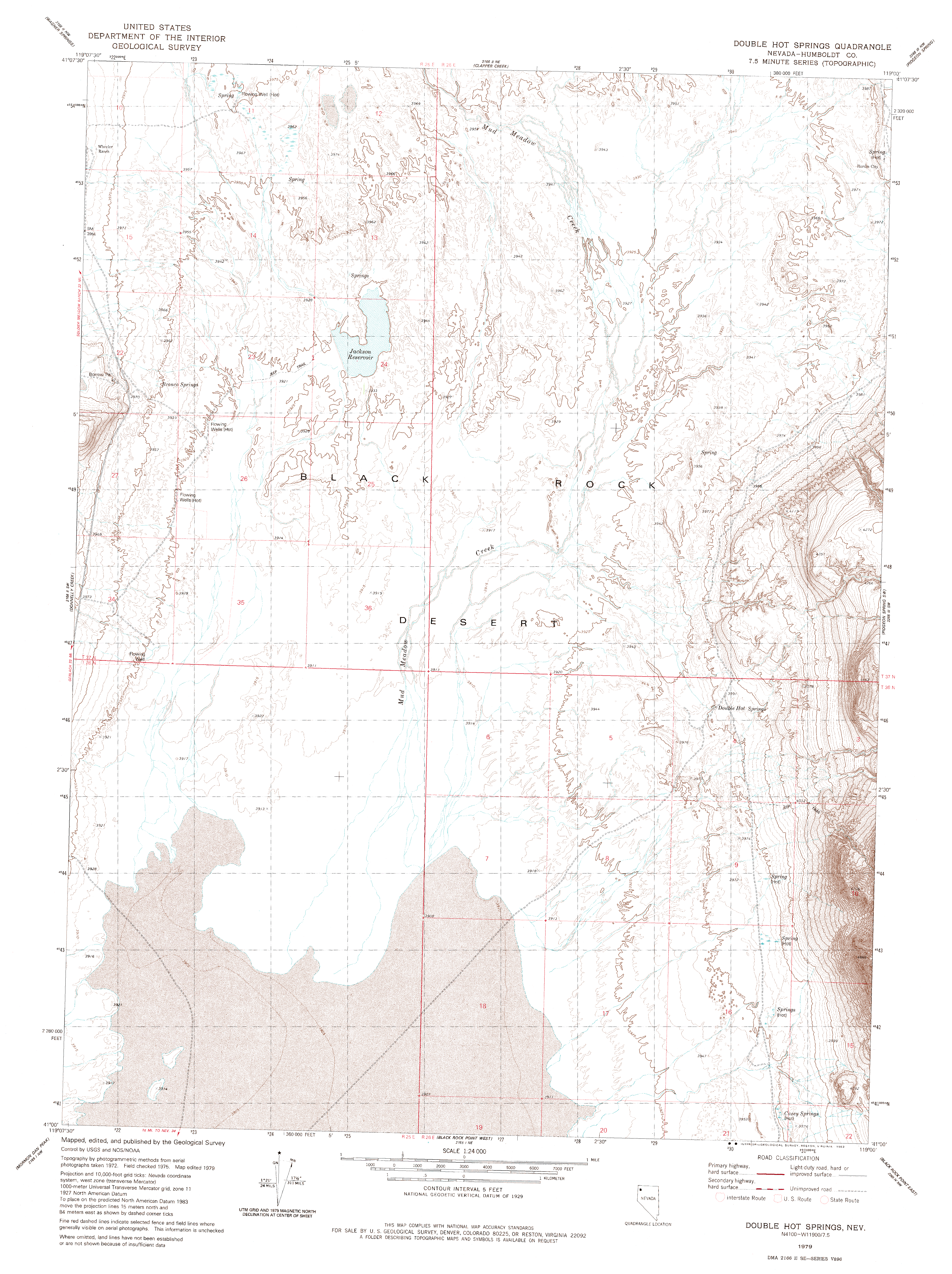
| 23:38, 7 May 2007 | USGS-DRG-24000-1980-Double Hot Springs.gif (file) | Error creating thumbnail: File with dimensions greater than 12.5 MP |
1.7 MB | 1 | |
| 23:37, 7 May 2007 | USGS-DRG-24000-1980-Double Hot Springs (thumb).jpg (file) | .jpg) |
9 KB | 1 | |
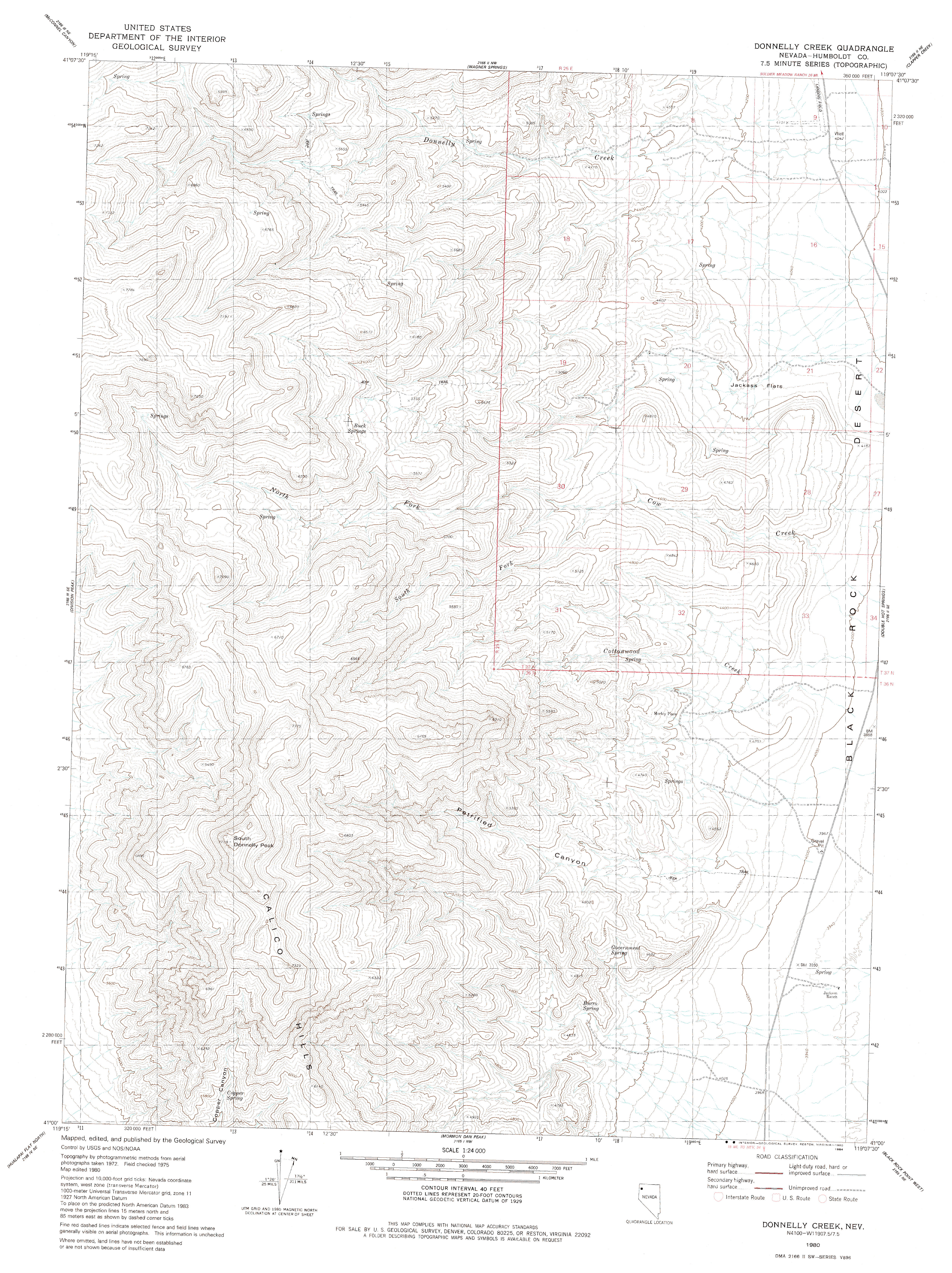
| 23:29, 7 May 2007 | USGS-DRG-24000-1980-Donnelly Creek.gif (file) | Error creating thumbnail: File with dimensions greater than 12.5 MP |
1.61 MB | 1 | |
| 23:29, 7 May 2007 | USGS-DRG-24000-1980-Donnelly Creek (thumb).jpg (file) | .jpg) |
10 KB | 1 | |
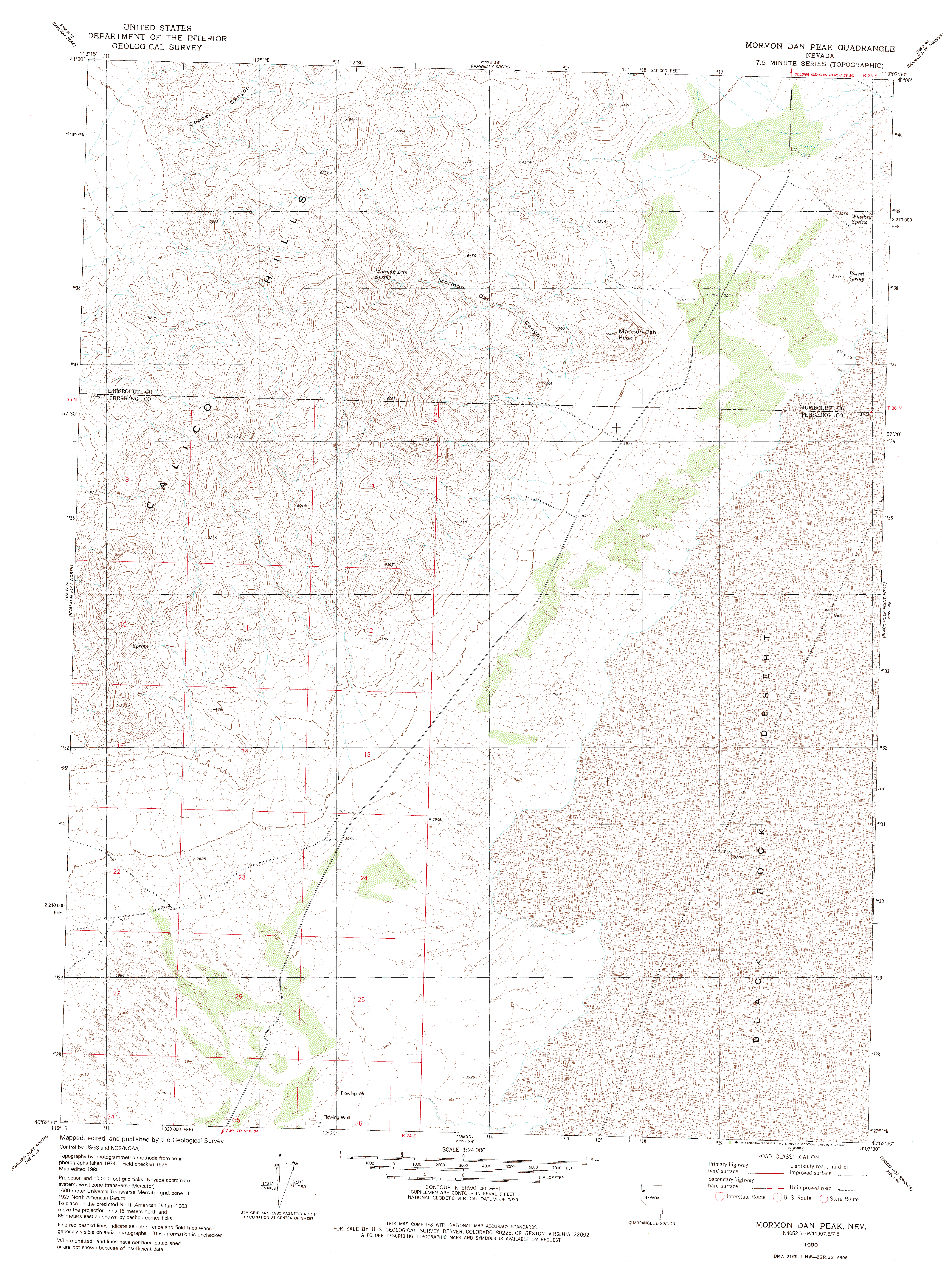
| 23:21, 7 May 2007 | USGS-DRG-24000-1980-Mormon Dan Peak.gif (file) | Error creating thumbnail: File with dimensions greater than 12.5 MP |
1.9 MB | 1 | |
| 23:21, 7 May 2007 | USGS-DRG-24000-1980-Mormon Dan Peak (thumb).jpg (file) | .jpg) |
9 KB | 1 |