USGS DRG Topographic Maps 1:24000: Difference between revisions
Jump to navigation
Jump to search
added update message (pointer to /maps/topo) |
Link to map sale page |
||
| Line 1: | Line 1: | ||
Maps are [http://blackrockdesert.3dcartstores.com/Maps_c_9.html for sale on the Friends of the Black Rock High Rock site]. | |||
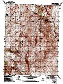
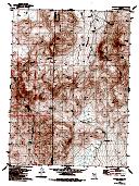
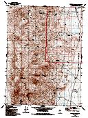
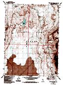
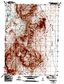
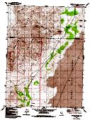
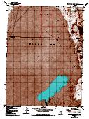
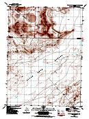
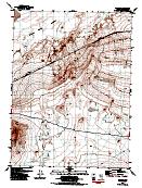
These thumbnails are linked to the thumbnail image page, which contains the full-resolution GIF. You can then instruct your browser to save that GIF (with right-click save-to-file). | These thumbnails are linked to the thumbnail image page, which contains the full-resolution GIF. You can then instruct your browser to save that GIF (with right-click save-to-file). | ||
Latest revision as of 09:03, 11 November 2013
Maps are for sale on the Friends of the Black Rock High Rock site.
These thumbnails are linked to the thumbnail image page, which contains the full-resolution GIF. You can then instruct your browser to save that GIF (with right-click save-to-file).
 |
 |
 |
 |
 |
| x | 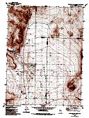 |
 |
 |
 |
| x | 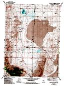 |
 |
 |
 |
| x | 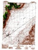 |
 |
x | x |