File list
Jump to navigation
Jump to search
This special page shows all uploaded files.
| Date | Name | Thumbnail | Size | User | Description | Versions |
|---|---|---|---|---|---|---|
| 21:16, 26 March 2007 | Fly Geyser 1th.JPG (file) | 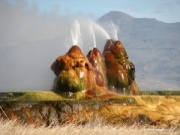 |
64 KB | Bc | 1 | |
| 21:17, 26 March 2007 | Mini geyser th.JPG (file) | 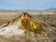 |
70 KB | Bc | 1 | |
| 21:18, 26 March 2007 | Mini geyser closeup th.JPG (file) | 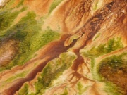 |
77 KB | Bc | 1 | |
| 21:26, 26 March 2007 | Fly Geyser 1.jpg (file) | 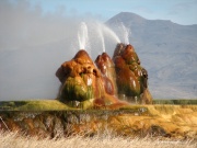 |
1.47 MB | Bc | 1 | |
| 21:44, 26 March 2007 | It came from hualapai th.JPG (file) |  |
84 KB | Bc | 1 | |
| 21:46, 26 March 2007 | IMG 4906.jpg (file) | 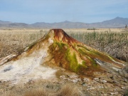 |
2.08 MB | Bc | 1 | |
| 21:48, 26 March 2007 | It came from hualapai a.JPG (file) |  |
666 KB | Bc | 1 | |
| 02:48, 29 March 2007 | Coyote 1.jpg (file) |  |
74 KB | Metric | 1 | |
| 02:48, 29 March 2007 | Coyote 2.JPG (file) |  |
82 KB | Metric | 1 | |
| 02:48, 29 March 2007 | Coyote 3.JPG (file) |  |
32 KB | Metric | 1 | |
| 02:49, 29 March 2007 | Coyote 4.JPG (file) |  |
80 KB | Metric | 1 | |
| 03:04, 29 March 2007 | Coyote ladybug.JPG (file) |  |
142 KB | Metric | 1 | |
| 03:05, 29 March 2007 | Coyote burrow.JPG (file) |  |
196 KB | Metric | 1 | |
| 03:05, 29 March 2007 | Coyote spring.JPG (file) |  |
222 KB | Metric | 1 | |
| 07:13, 1 April 2007 | Mini geyser closeup.jpg (file) |  |
528 KB | Metric | 1 | |
| 07:15, 1 April 2007 | Itcamefromhualapai.JPG (file) | 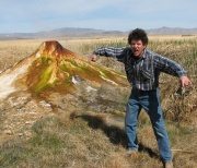 |
666 KB | Metric | 1 | |
| 03:13, 3 April 2007 | Clamatodeserto.jpg (file) |  |
50 KB | Metric | 1 | |
| 22:02, 3 April 2007 | Trego2002.jpg (file) | 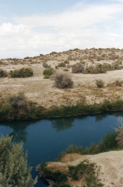 |
148 KB | Duke Resonant | Trego hot springs, taken in May 2002 | 1 |
| 22:06, 3 April 2007 | Trego2002a.jpg (file) |  |
146 KB | Duke Resonant | Trego Hot Springs ( resized...) taken in May 2002 | 1 |
| 22:57, 3 April 2007 | Lahontan.jpg (file) | 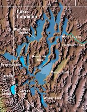 |
22 KB | Duke Resonant | Taken from Wikipedia.org | 1 |
| 22:49, 13 April 2007 | Goeswest-visible-playa.jpg (file) |  |
14 KB | WikiAdmin | 1 | |
| 14:59, 28 April 2007 | Sign between Gerlach and Sulphur.JPG (file) |  |
121 KB | Xleland | The road from Gerlach to Winnemuca via Trego is mainly gravel and rock, it is not sandy and is suitable for motorcycles. I have traveled this road on a 1982 R100RT BMW, which is a street bike and I had no problems. | 1 |
| 15:06, 28 April 2007 | Sulphur Junction.JPG (file) | 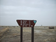 |
121 KB | Xleland | This is the Sulphur junction on the BLM road about 1/2 way between Gerlach and Winnemuca on the South East side of the Black Rock Desert. The road is mainly gravel and suitable for any motorcycle. There are no sandy spots. | 1 |
| 15:15, 28 April 2007 | S5001078.JPG (file) | 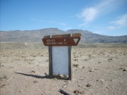 |
123 KB | Xleland | Black Rock Desert between Gerlach and Soldier Meadows | 1 |
| 15:17, 28 April 2007 | S5001078.jpg (file) | 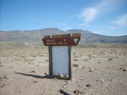 |
123 KB | Xleland | 1 | |
| 15:27, 28 April 2007 | S5001015.JPG (file) | 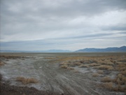 |
122 KB | Xleland | 2 | |
| 04:32, 1 May 2007 | Topo-100k-blackrockdesert-clip.png (file) | 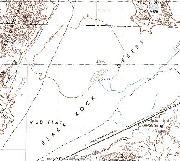 |
224 KB | Bc | 1 | |
| 04:33, 1 May 2007 | Topo-100k-blackrockdesert-clip-8bit.png (file) |  |
95 KB | Bc | 1 | |
| 05:30, 1 May 2007 | 1895 U.S. Atlas - Humboldt County.jpg (file) |  |
623 KB | Bc | ( taken from [http://www.livgenmi.com/1895/NV/County/humboldt.htm http://www.livgenmi.com/1895/NV/County/humboldt.htm] ) | 1 |
| 05:38, 1 May 2007 | 1895 U.S. Atlas - Washoe County,jpg.jpg (file) |  |
432 KB | Bc | ( taken from http://www.livgenmi.com/1895/NV/County/washoe.htm ) | 1 |
| 05:40, 1 May 2007 | 1895 U.S. Atlas - Washoe County.jpg (file) |  |
432 KB | Bc | ( taken from http://www.livgenmi.com/1895/NV/County/washoe.htm ) | 1 |
| 23:03, 3 May 2007 | 1855 Survey - Mud Lake clip.jpg (file) |  |
47 KB | Bc | 2 | |
| 00:46, 4 May 2007 | D0004.JPG (file) | 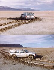 |
5.15 MB | Wendell | This shot was taken just before Bman 1999 with a 35mm , so had to scan, use if you can or let me know what else to do with it. Wendell | 1 |
| 00:50, 4 May 2007 | D0004 (Large).JPG (file) |  |
35 KB | Wendell | These shots were taken just before Bman 99. Use if you. Wendell | 1 |
| 08:03, 4 May 2007 | BM97 BR5.JPG (file) | 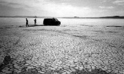 |
17 KB | Bob | Johnny & Feral, Hualapai, 1997 | 1 |
| 23:11, 4 May 2007 | Visitor contact trailer 1022 web.jpg (file) |  |
10 KB | Bc | taken from http://www.blackrockhighrockinfo.net/visitorinformation.htm | 1 |
| 23:25, 4 May 2007 | BLM-BRHR-beginlassen.jpg (file) | 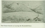 |
26 KB | Bc | Bruff's 1849 Drawing of Beginning of the Applegate Trail | 1 |
| 23:32, 4 May 2007 | BLM-BRHR-ScenicHistoricCAbin polecanyon.jpg (file) | 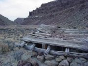 |
175 KB | Bc | Homestead Site in High Rock area | 1 |
| 23:34, 4 May 2007 | BLM-BRHR-highflowers.jpg (file) | 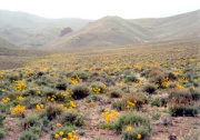 |
85 KB | Bc | Balsam root in bloom | 1 |
| 00:35, 5 May 2007 | BLM-BRHR-buckaroos.jpg (file) | 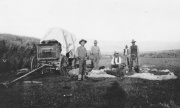 |
66 KB | Bc | Buckaroos at the chuckwagon | 1 |
| 22:48, 5 May 2007 | 2007-125-1840-terra-143.jpg (file) | 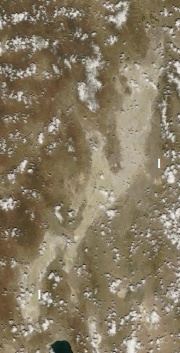 |
61 KB | Bc | http://rapidfire.sci.gsfc.nasa.gov/realtime/single.php?2007125/crefl1_143.A2007125184000-2007125184501.250m.jpg | 2 |
| 22:49, 5 May 2007 | 2007-125-1840-terra-367.jpg (file) | 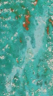 |
17 KB | Bc | http://rapidfire.sci.gsfc.nasa.gov/realtime/single.php?2007125/crefl1_367.A2007125184000-2007125184501.500m.jpg | 1 |
| 22:49, 5 May 2007 | 2007-125-1840-terra-721.jpg (file) | 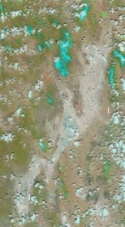 |
19 KB | Bc | http://rapidfire.sci.gsfc.nasa.gov/realtime/single.php?2007125/crefl1_721.A2007125184000-2007125184501.500m.jpg | 1 |
| 22:50, 5 May 2007 | 2007-125-1840-terra-ndvi.jpg (file) | 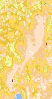 |
60 KB | Bc | http://rapidfire.sci.gsfc.nasa.gov/realtime/single.php?2007125/ndvi1.A2007125184000-2007125184501.250m.jpg | 1 |
| 21:23, 7 May 2007 | USGS-DRG-24000-1980-Hualapai Flat North.gif (file) | Error creating thumbnail: File with dimensions greater than 12.5 MP |
1.39 MB | Bc | 1 | |
| 21:34, 7 May 2007 | USGS-DRG-24000-1980-Hualapai Flat North (thumb).jpg (file) | 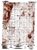 |
9 KB | Bc | 1 | |
| 21:47, 7 May 2007 | Hualapai Flat South (thumb).jpg (file) |  |
8 KB | Bc | 1 | |
| 21:49, 7 May 2007 | USGS-DRG-24000-1980-Hualapai Flat South (thumb).jpg (file) |  |
8 KB | Bc | 1 | |
| 21:51, 7 May 2007 | USGS-DRG-24000-1980-Hualapai Flat South.gif (file) | Error creating thumbnail: File with dimensions greater than 12.5 MP |
2 MB | Bc | 1 | |
| 22:05, 7 May 2007 | USGS-DRG-24000-1990-Gerlach (thumb).jpg (file) |  |
8 KB | Bc | 1 |