File:LintonsWellPershingCountyNevadaS29T25NR25E1912.png
Jump to navigation
Jump to search
Size of this preview: 800 × 489 pixels. Other resolution: 1,230 × 752 pixels.
Original file (1,230 × 752 pixels, file size: 1.05 MB, MIME type: image/png)
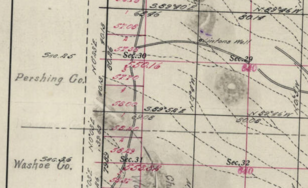
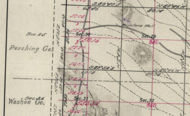
Lintons Well from the 1912 Nevada Plat.
Source: "Plat Maps for Range 25 East (R25E)," University of Nevada, 1912.
"Personal, including educational and academic, use of this material is without restriction but acknowledgement of the Nevada Division of State Lands and the DeLaMare Library, UNR, is requested whether the use is oral, web or in print. Commercial use of any portion of this material requires permission from the Nevada Division of State Lands, Carson City, Nevada."
File history
Click on a date/time to view the file as it appeared at that time.
| Date/Time | Thumbnail | Dimensions | User | Comment | |
|---|---|---|---|---|---|
| current | 02:23, 26 December 2014 | | 1,230 × 752 (1.05 MB) | Cxbrx (talk | contribs) | Lintons Well from the 1912 Nevada Plat. Source: "[http://contentdm.library.unr.edu/cdm/ref/collection/hmaps/id/1529 Plat Maps for Range 25 East (R25E)]," University of Nevada, 1912. "Personal, including educational and academic, use of this material... |
You cannot overwrite this file.
File usage
The following page uses this file: