File:HoytMapShowingNiterClaimsNearGeralach.png
Jump to navigation
Jump to search
Size of this preview: 800 × 570 pixels. Other resolution: 867 × 618 pixels.
Original file (867 × 618 pixels, file size: 64 KB, MIME type: image/png)
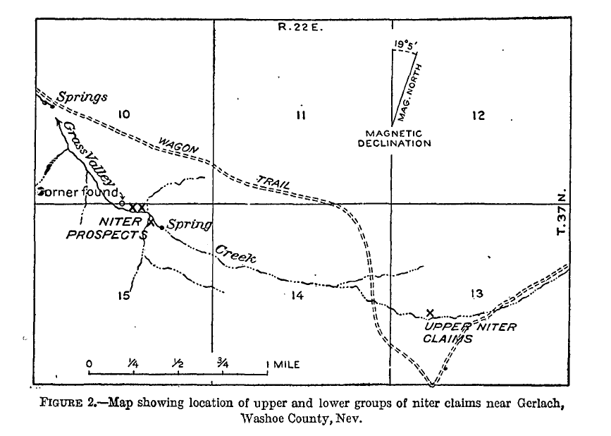
"Map showing location of upper and lower groups of niter claims near Gerlach, Washoe County, Nev." Source: Hoyt S. Gale, "Nitrate Deposits," Bulletin 523, USGS
File history
Click on a date/time to view the file as it appeared at that time.
| Date/Time | Thumbnail | Dimensions | User | Comment | |
|---|---|---|---|---|---|
| current | 03:46, 28 November 2014 | | 867 × 618 (64 KB) | Cxbrx (talk | contribs) | "Map showing location of upper and lower groups of niter claims near Gerlach, Washoe County, Nev." Source: Hoyt S. Gale, "[http://pubs.usgs.gov/bul/0523/report.pdf Nitrate Deposits]," Bulletin 523, USGS |
You cannot overwrite this file.
File usage
The following page uses this file: