File:ToxicExhaustCloudDiffusionStudyPershingCountyMay1967Fig3AerialViewAirSamplingGrid.png
Size of this preview: 463 × 600 pixels. Other resolution: 1,490 × 1,930 pixels.
Original file (1,490 × 1,930 pixels, file size: 1.78 MB, MIME type: image/png)
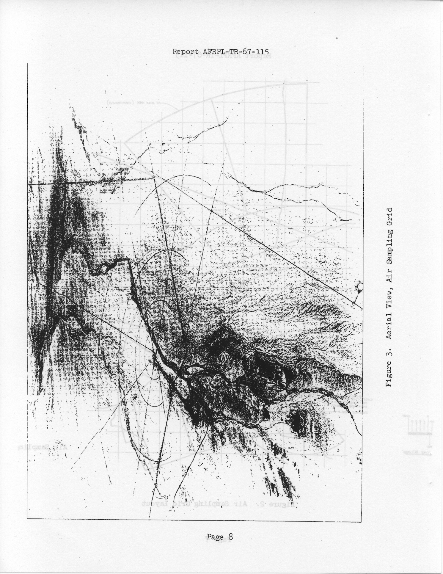
Figure 3: Aerial View, Air Sampling Stations. From Dilts, R. L. ; Robinson, L. H. ; Ghilarducci, H. E., "Toxic Exhaust Cloud Diffusion Study," May 1967. Corporate Author: Aerojet-General Corp, Sacramento, CA.
The first page of the document says: "This document has been approved for public release and sale; its distribution is unlimited"
File history
Click on a date/time to view the file as it appeared at that time.
| Date/Time | Thumbnail | Dimensions | User | Comment | |
|---|---|---|---|---|---|
| current | 07:14, 6 April 2014 | | 1,490 × 1,930 (1.78 MB) | Cxbrx (talk | contribs) | Figure 3: Aerial View, Air Sampling Stations. From Dilts, R. L. ; Robinson, L. H. ; Ghilarducci, H. E., "Toxic Exhaust Cloud Diffusion Study," May 1967. Corporate Author: Aerojet-General Corp, Sacramento, CA. The first page of the document says: "Th... |
You cannot overwrite this file.
File usage
The following page uses this file: